File:Aerial view of city of Oakland 2.jpg
Jump to navigation
Jump to search

Size of this preview: 800 × 600 pixels. Other resolutions: 320 × 240 pixels | 640 × 480 pixels | 1,024 × 768 pixels | 1,280 × 960 pixels | 2,560 × 1,920 pixels | 3,264 × 2,448 pixels.
Original file (3,264 × 2,448 pixels, file size: 6.19 MB, MIME type: image/jpeg)
Summary
| Description |
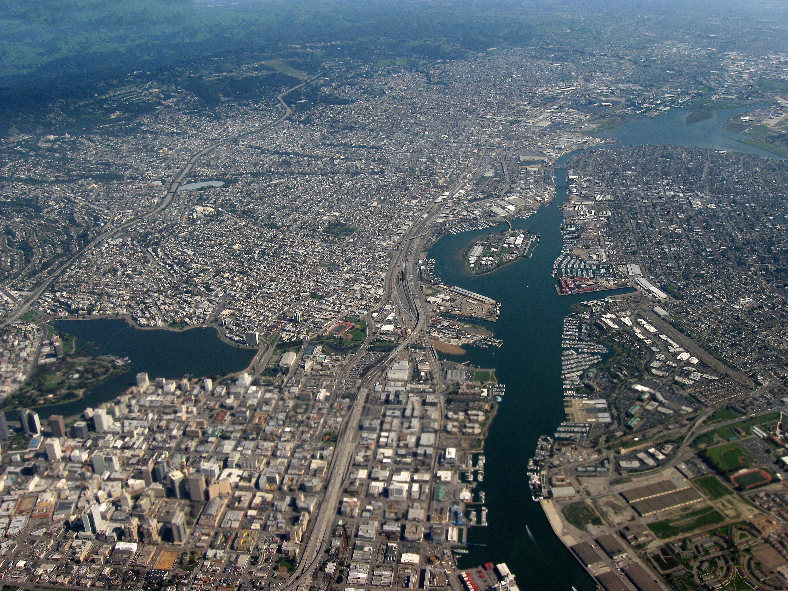
English: Aerial view of city of Oakland, California. Lakeside Park, Lake Merritt in left center, Laney College to the right of that, Interstate 880 and Oakland Inner Harbor Channel running up middle, Government Island just right of center. |
| Date | |
| Source | Own work |
| Author | Dcoetzee |
| Camera location | | View this and other nearby images on: OpenStreetMap |
|---|
Licensing
| I, the copyright holder of this work, release this work into the public domain. This applies worldwide. In some countries this may not be legally possible; if so: I grant anyone the right to use this work for any purpose, without any conditions, unless such conditions are required by law. |
File history
Click on a date/time to view the file as it appeared at that time.
| Date/Time | Thumbnail | Dimensions | User | Comment | |
|---|---|---|---|---|---|
| current | 02:00, 4 June 2009 | | 3,264 × 2,448 (6.19 MB) | wikimediacommons>Dcoetzee | {{Information |Description={{en|1=Aerial view of city of Oakland, California. Lakeside Park, Lake Merritt in left center, Laney College to the right of that, Interstate 880 and Oakland Inner Harbor Channel running up middle, Government Island just right o |
File usage
There are no pages that use this file.
